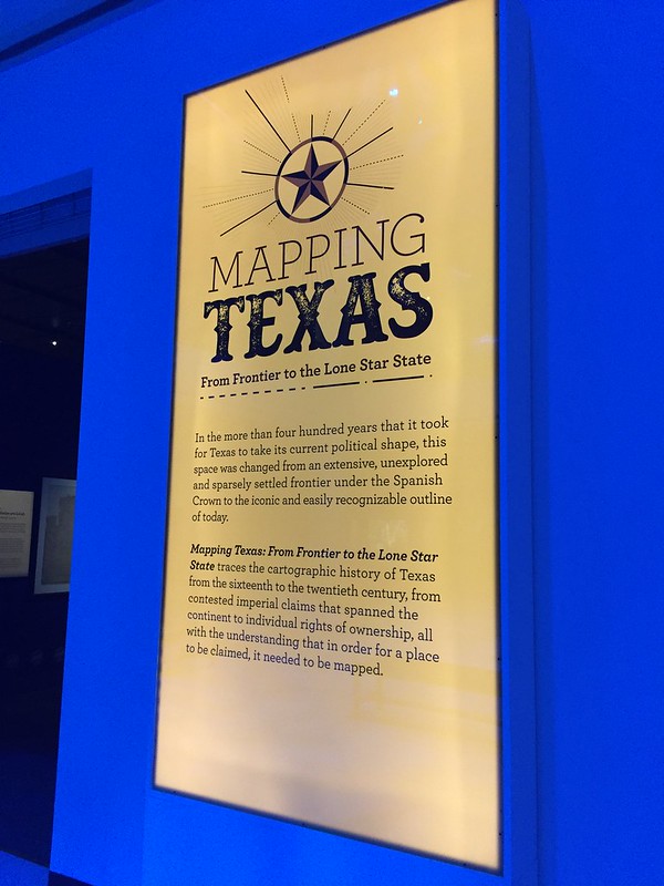
A few weeks ago I wrote an article for the paper about an exhibit at the Museum of Natural Science. The exhibit is called Mapping Texas: From Frontier to Lone Star State.
I got to go see the exhibit for free, instead of paying for a ticket, which was really cool.
There was a collection of about 50 maps, most of them on loan from the Texas General Land Office. The maps range from the year 1513 to the 1900s.
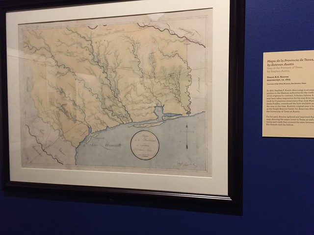
One of the highlights in the exhibit is the huge 7 feet by 7 feet Stephen F. Austin “connected map” of Austin’s Colony, drawn by Austin himself.
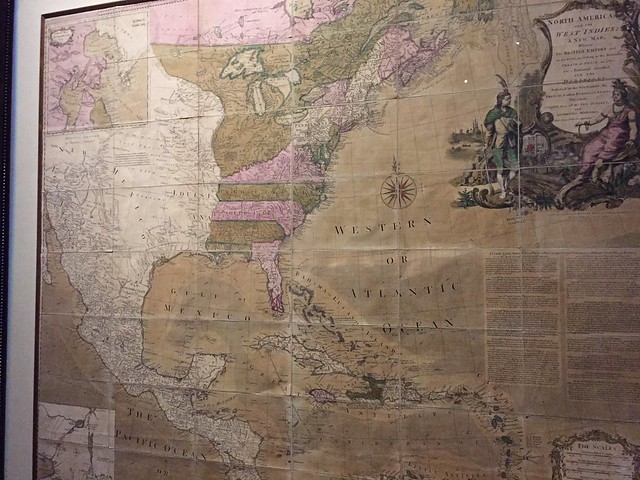
The oldest map, from 1513, is by German cartographer Martin Waldseemüller. It is supposedly one of the first maps to show the gulf coast. The countries are all disproportionate, and it took me a few minutes of studying it to figure out what I was actually looking at!
I enjoyed looking at the older maps when Texas wasn’t Texas; when it was still a part of Spain or Mexico. It was interesting to see the 13 colonies on some maps, and then out west was wide and open. Sometimes I still forget that I am “out west.”
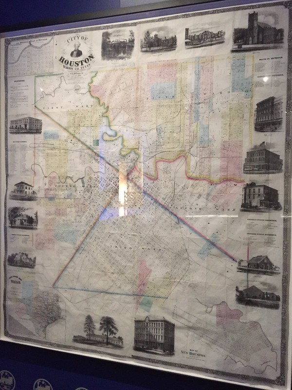
There were also some maps that showed the early grids of Houston. I wonder if the men who founded it ever realized that it would become such a larger city!
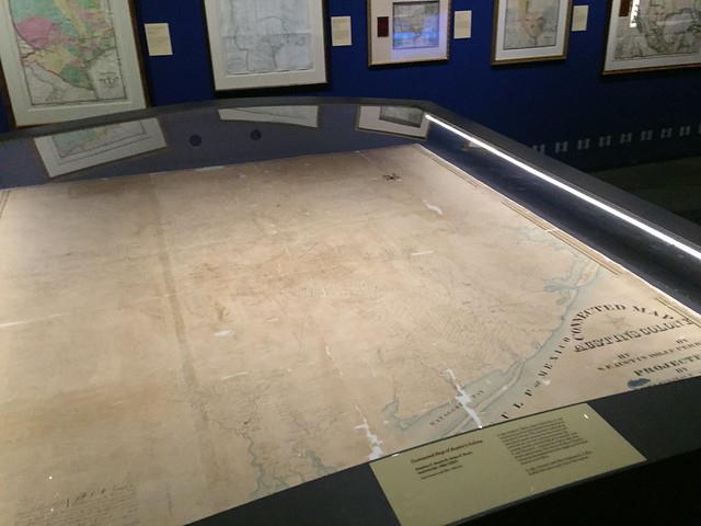
Stephen F. Austin’s map.
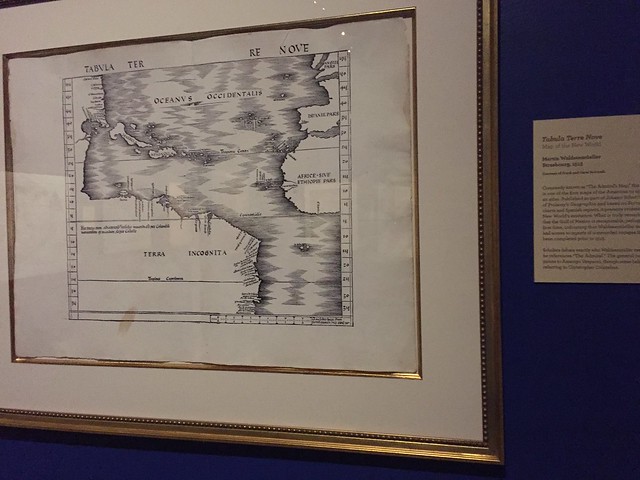
The 1513 Waldseemüller map.